
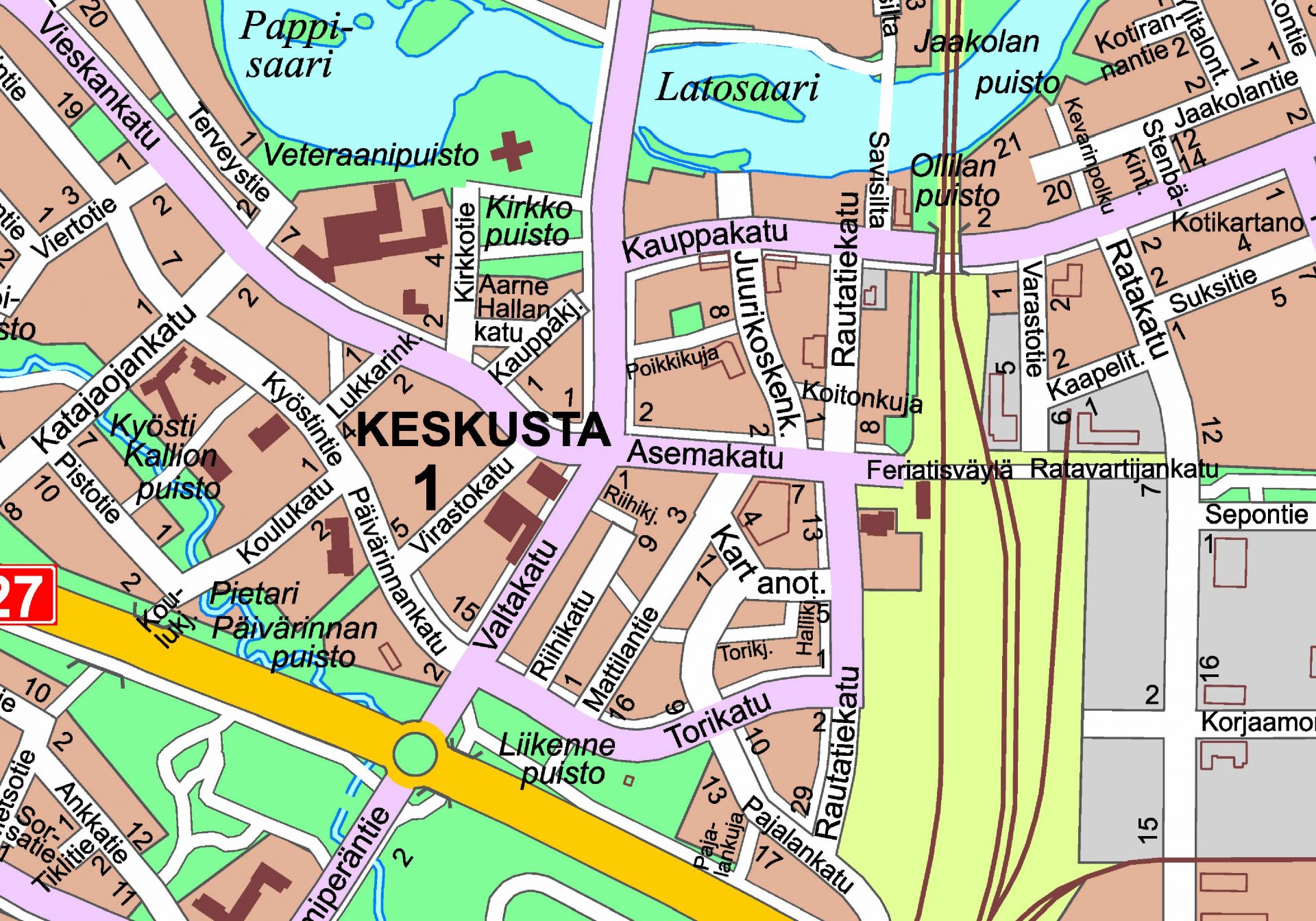
City centre’s guide map.
Printed maps
Free print products are available at the city hall’s information point;
- Tear-off map of the city centre area (services)
- Route network map of the Ylivieska-Huhmari-Törmälä area
Numerical materials
The Land Use Services deliver digital map materials by email as initial data for planning. Up-to-date map materials have been considered to be an important part of detailed planning and the review of documents.
You can obtain a map extract or printout of the following materials, or their combinations:
- local plan
- component master plan
- local plan’s topographic base
- property register map
- map of underground pipes and cables
- orthophoto 2014
- laser scanning material 2014
Paper and numerical map extracts as well as additions to be made to maps (e.g. text, border measurements, etc.) are billed in accordance with the rates approved by the Technical Services Board. Any work tasks and schedules shall always be agreed with the customer in advance.
Contact
Jari Törmänen
Kartoittaja
+358444294469
Maankäyttöyksikkö
Kartoittaja
+358444294469
Maankäyttöyksikkö
Esa Taka-Eilola
Kaupunkisuunnittelupäällikkö
+358444294370
Maankäyttöyksikkö
Kaupunkisuunnittelupäällikkö
+358444294370
Maankäyttöyksikkö
Maria Puranen
Maankäyttöinsinööri
+358444294247
Maankäyttöyksikkö
Maankäyttöinsinööri
+358444294247
Maankäyttöyksikkö
Jaa sosiaalisessa mediassa: