
Land surveying is an essential part of construction.
General
The city’s land surveying tasks are carried out by three independent mappers. Daily work duties are carried out with up-to-date Leican GPS/GNSS equipment and tachometers.
Work duties include building site markings, marking and mapping surveys related to municipal engineering, as well as other surveying work. The main work duties have been divided into areas of responsibility among the staff; however, these are flexible according to the situation and needs.
The surveying service is sold in accordance with the service rates approved by the Technical Services board, when work tasks allow for it. Ordered work and schedules shall always be agreed separately with the customer in advance.
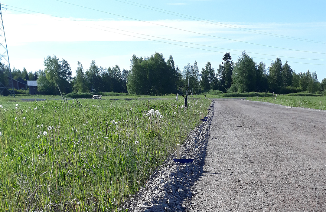
Construction site marking
The building permit specifies the mandatory inspections applicable to the permit, which are also one of the conditions for the building permit to be issued. In building projects, these include permit-specifically the marking of the construction site and a location survey (Land Use and Building Act, Sections 149 b and 150).
The marking of the construction site can be carried out once the building permit has been issued. The response time for measurements is three business days after submitting the marking request. Inspections are included in the permit fees approved by the city council and they shall not be charged separately.
The marking of a construction site includes two separate markings. The initial marking is usually completed with the opening of bases or the felling of trees in mind. The accurate marking is carried out after opening the bases, over the gravel.
In connection with marking the construction site, the height level of the building is also marked in the terrain. The height of the foundation’s upper surface is determined by the ELY centre in flood risk areas, and the head designer in case of larger projects. In case of smaller projects, the mapper determines the initial height, which is reviewed at the initial meeting of the building project.
Location survey
A location survey is carried out after the implementation of the building project. The survey maps out the realised construction work, and its location data is transmitted to other official entities too (e.g., National Land Survey of Finland and the Digital and Population Data Services Agency). The location survey is ordered by the head designer after the casting of the foundation. If a request has not been made, the building sites are visited on a regional basis without prior notice to the developer.
Construction site marking
Kartoittaja
+358444294469
jari.tormanen@ylivieska.fiMaankäyttöyksikkö
Construction of municipal engineering and construction site marking
Paikkatietoinsinööri
+358444294412
ari.lepisto@ylivieska.fiTeknisten palveluiden palveluyksikkö
Construction of municipal engineering
Kartoittaja
+358444294411
vesa.aho@ylivieska.fiMaankäyttöyksikkö