
Future Ylivieska
City centre’s district plan 2030
A district plan is usually a general plan prepared as a basis for local planning. A district plan is used to aim to clarify the effect a local plan or other land use plan has on the wider surroundings.
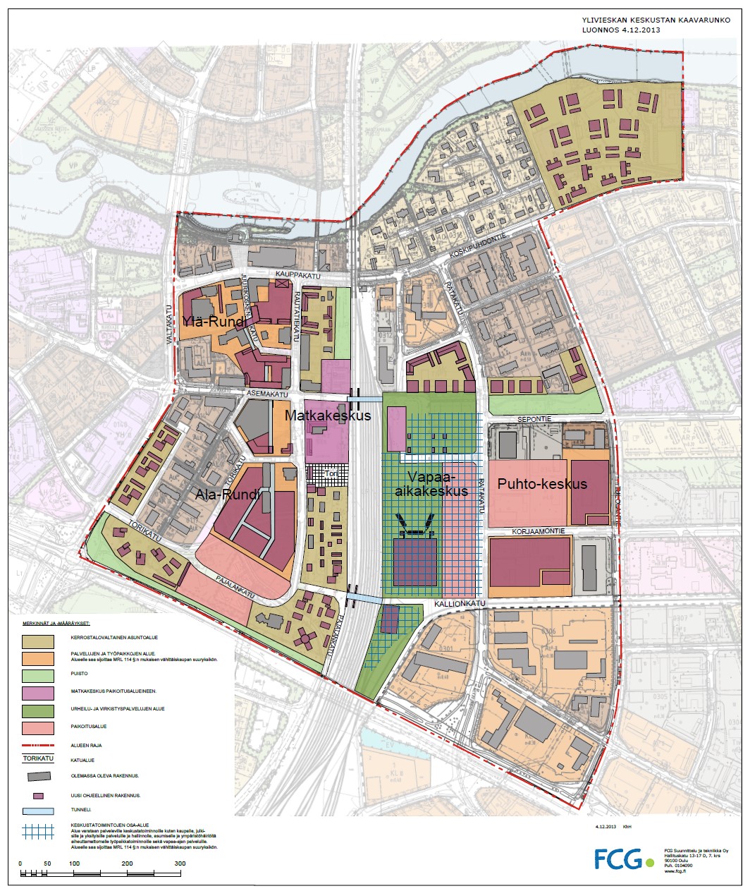
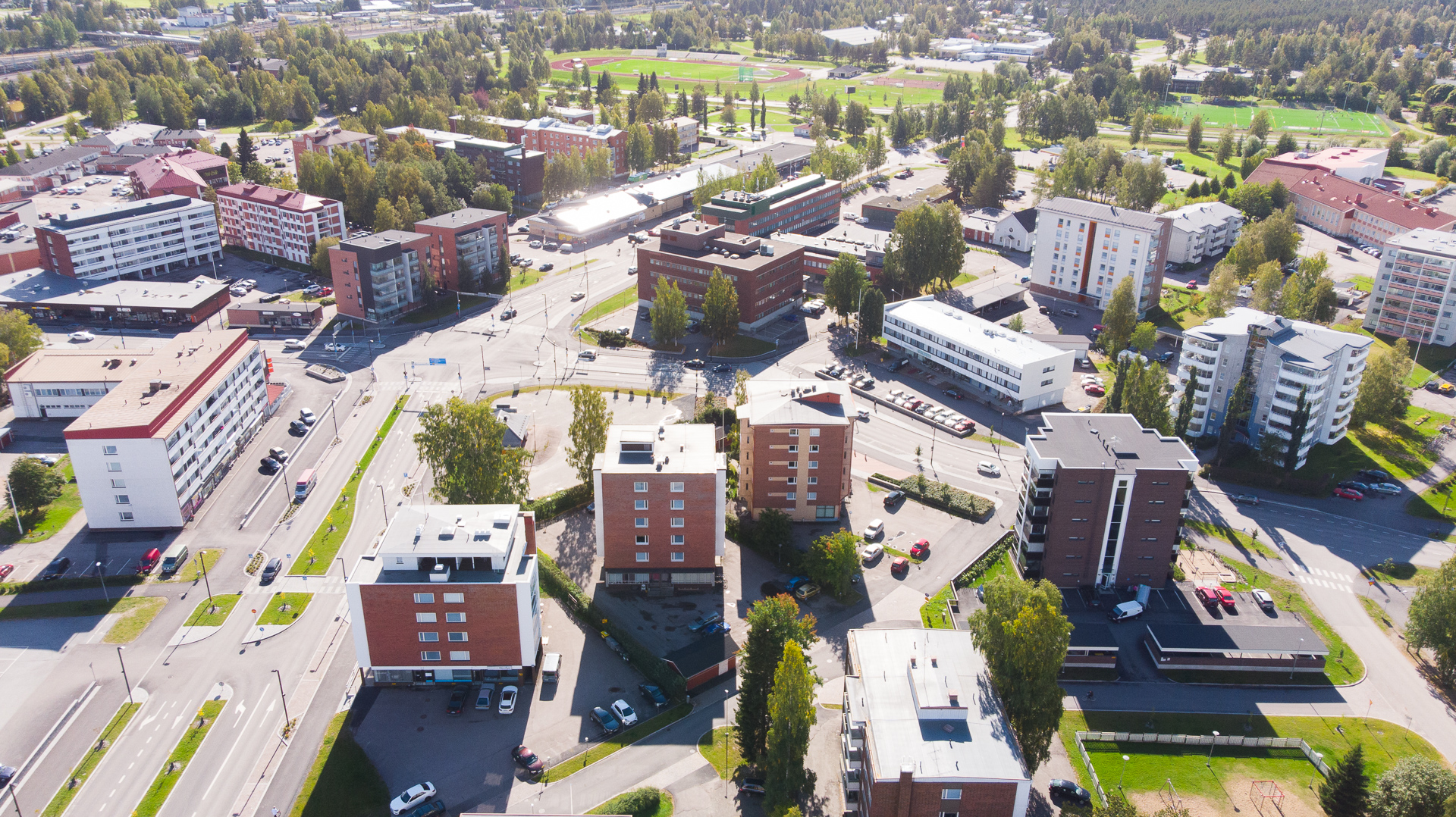
The district plan area consists the environment of Ylivieska’s city centre region bordering in the west to Valtakatu, in the north to Kalajoki, in the south to Savontie and in the east to Tulolantie.
The district plan was prepared for the clarification of the city centre’s residential construction, commercial and other services as well as traffic and green corridors.
The plan is not a level of planning referred to in the Land Use and Building Act. It is not made public and it cannot be appealed. The district plan is attached to the preparatory material of the local plan.
The city council has approved the general district plan, guiding local planning and other land use planning, on January 13, 2014 § 4.
Contacts
Kaupunkisuunnittelupäällikkö
+358444294370
esa.taka-eilola@ylivieska.fiMaankäyttöyksikkö
Kaavasuunnittelija
+358444294233
antto.lehto@ylivieska.fiMaankäyttöyksikkö
Email forname.surname@ylivieska.fi