
Spatial data travels over the Internet.
Spatial data travels over the Internet.
With the development of information technology, it has become possible to share map and spatial datasets over the Internet by utilising different interfaces. The EU INSPIRE Directive and the European Commission’s regulations oblige various official entities to share their datasets in standardised formats so that any adept users can utilise them without charges. The INSPIRE Directive guides EU Member States to develop uniform and functional spatial data infrastructures. The INSPIRE Directive entered into force on May 15, 2007 and its implementation progresses in stages until 2021.
National legislation
In Finland, sharing datasets is based on the Act on Spatial Data Infrastructure and the complementing Decree. The descriptions of spatial datasets in Finland are logged in the national Paikkatietohakemisto metadata service maintained by the INSPIRE Secretary. After this, the datasets can be presented in open and free search services to which, for example, the national Paikkatietoikkuna spatial data portal belongs.
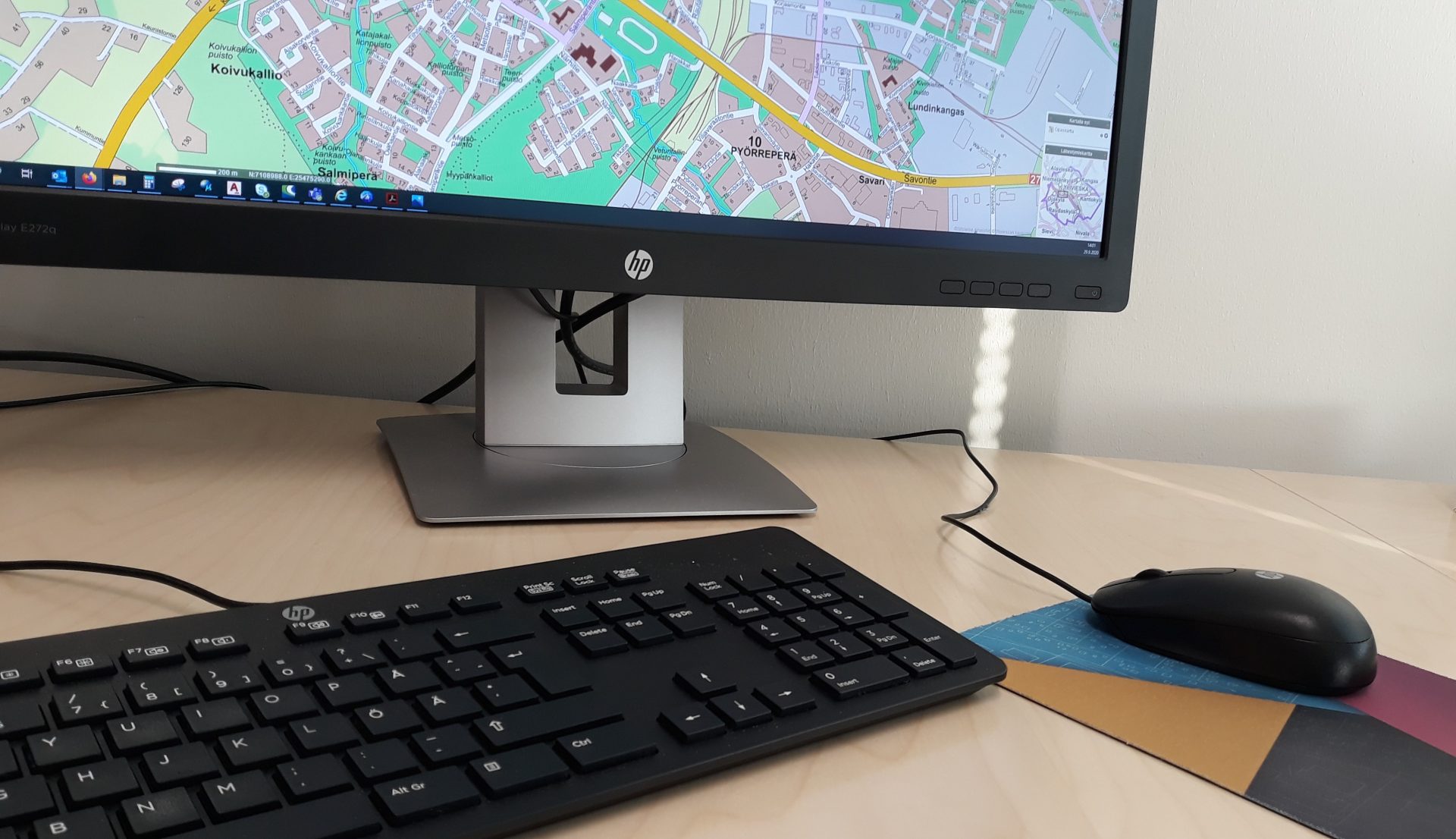
In Ylivieska
The city has published the following datasets as an open WMS interface;
- Guide map
- Up-to-date local plan
- Local plan markings and provisions
- Master plan
- Local plan’s topographic base (base map)
Contact information
Kaupunkisuunnittelupäällikkö
+358444294370
esa.taka-eilola@ylivieska.fiMaankäyttöyksikkö