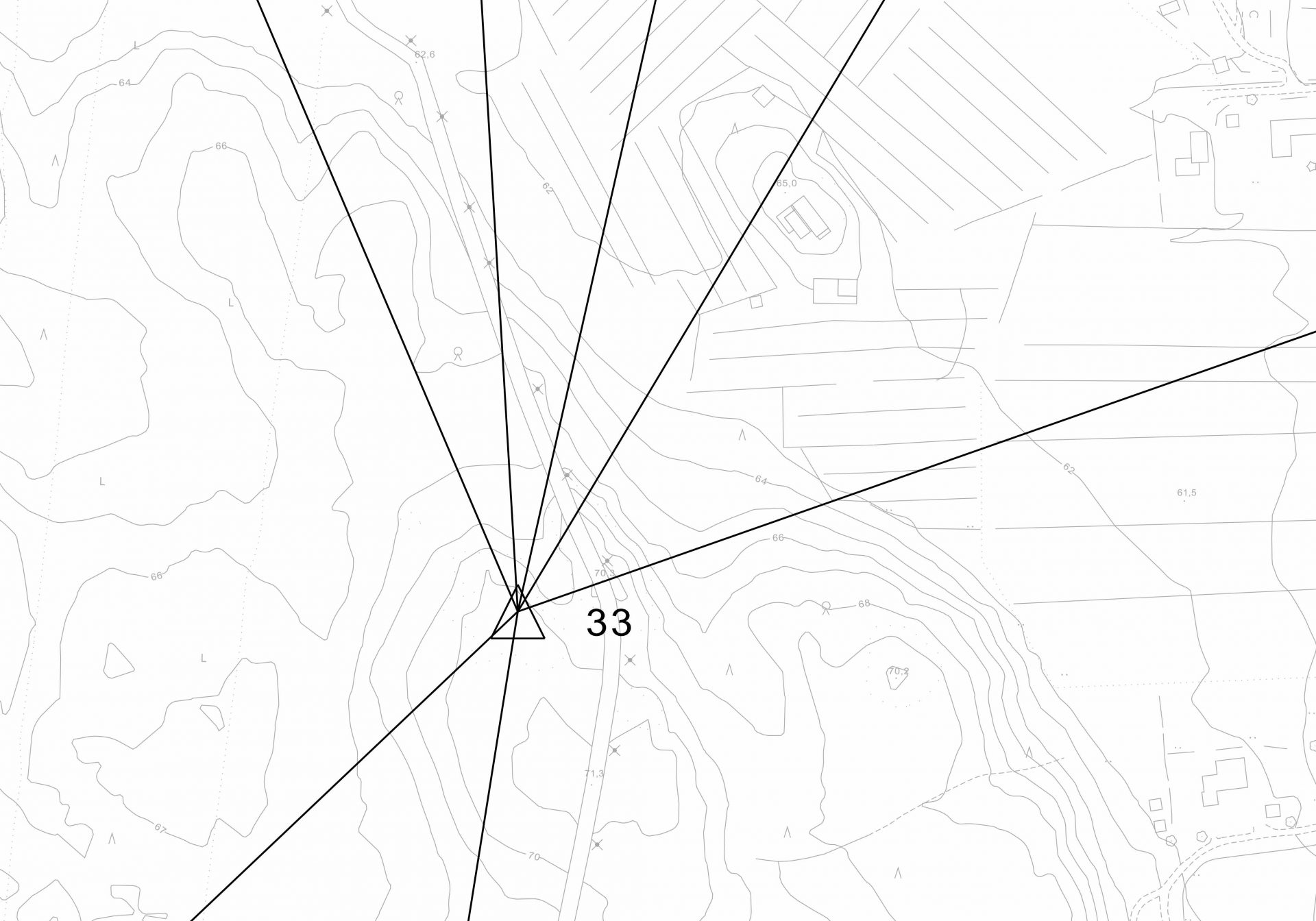
The Fixed Survey Marks Network is the basis for land surveying.

General
From the beginning of 2014, the City of Ylivieska has transitioned to use the ETRS-GK25 coordinate system and the N2000 altitude system. In connection with their introduction, the area’s core network was reviewed and renewed by the National Land Survey of Finland. The survey marks were given values in accordance with the new systems. This work allowed regional distortions caused by different time periods to be eliminated.
Coordinate system
The ETRS-GK25 coordinates are used as the coordinate system. The previously used datasets, which were in KKJ2 coordinates, were translated to the new system with the help of regional parameters obtained during control point surveying.
Altitude system
The N2000 altitude system was introduced at the same time with the introduction of the coordinate system. All the datasets in accordance with the N43 altitude system where translated for the new system using the altitude difference observed by systems during control point surveying. The altitude curves and points of the local plan’s base maps were prepared again in accordance with recommendations.
The difference between the N43 altitude system and the N60 altitude system is 14 cm, and the difference between the N60 and N2000 altitude systems is 41 cm. When moving directly from the N43 altitude system to the N2000 altitude system, 55 cm must be added to the altitudes in accordance with the N43 altitude system.
Contact info
Kaupunginarkkitehti
+358444294370
Maankäyttöyksikkö
Coordinate system
ETRS-GK25-coordinate system
Altitude system
N2000-altitude system
Transformation parameters:
- N43 = 0.00
- N60 = N43 + 0.14
- N2000 = N43 +0.55